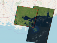
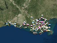
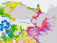
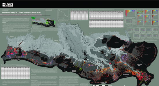
An index of global, national, and Louisiana state and parish mapping websites. Includes tools useful for research on land loss, pipelines, and land and water contamination.
GLOBAL AND NATIONAL SITES
US Energy Information Administration Mapping System
Jones, Swanson, Huddell & Garrison, LLC, is a New Orleans-based law firm that handles complex environmental and commercial cases throughout the country and around the world. The firm’s attorneys have a wide array of interests and backgrounds, not only in litigation, but also in science, government service, international relations, and business. In order to serve its clients most efficiently, Jones Swanson often pools intellectual resources by collaborating with other firms, and it has an excellent track record when doing so. The firm has served as lead counsel on numerous successful cases against some of the world’s largest energy, financial and technology corporations.
New Orleans
Pan-American Life Center
601 Poydras Street, Suite 2655
New Orleans, Louisiana 70130
ph: 504.523.2500
fax: 504.523.2508
info@jonesswanson.com
Baton Rouge
One American Place
301 Main Street, Suite 1920
Baton Rouge, Louisiana 70801
ph: 225.810.3165
fax: 225.810.3169
info@jonesswanson.com
Copyright 2017. All rights reserved. Jones, Swanson, Huddell & Garrison, LLC, produces the information in this newsletter as a service to clients and friends of the firm. It should not be construed as legal or professional advice or as an opinion with regard to any particular factual scenario. Legal advice or consultation should be sought before taking action on the information presented in this newsletter.